Building the Future: How BIM Technology is Transforming City Planning
Urban planning and development have undergone a massive change in recent years, thanks to the integration of BIM technologies. These advanced platforms made a revolution in the industry. One of the most prominent in this space is Vu.City. In this text, we’ll explore how Vu.City is leveraging BIM technology to enable a data-driven approach to urban planning and development.
BIM Technology: A Brief Overview
Before we dive into Vu.City’s implementation of BIM technology, let’s first define what BIM is and how it works.
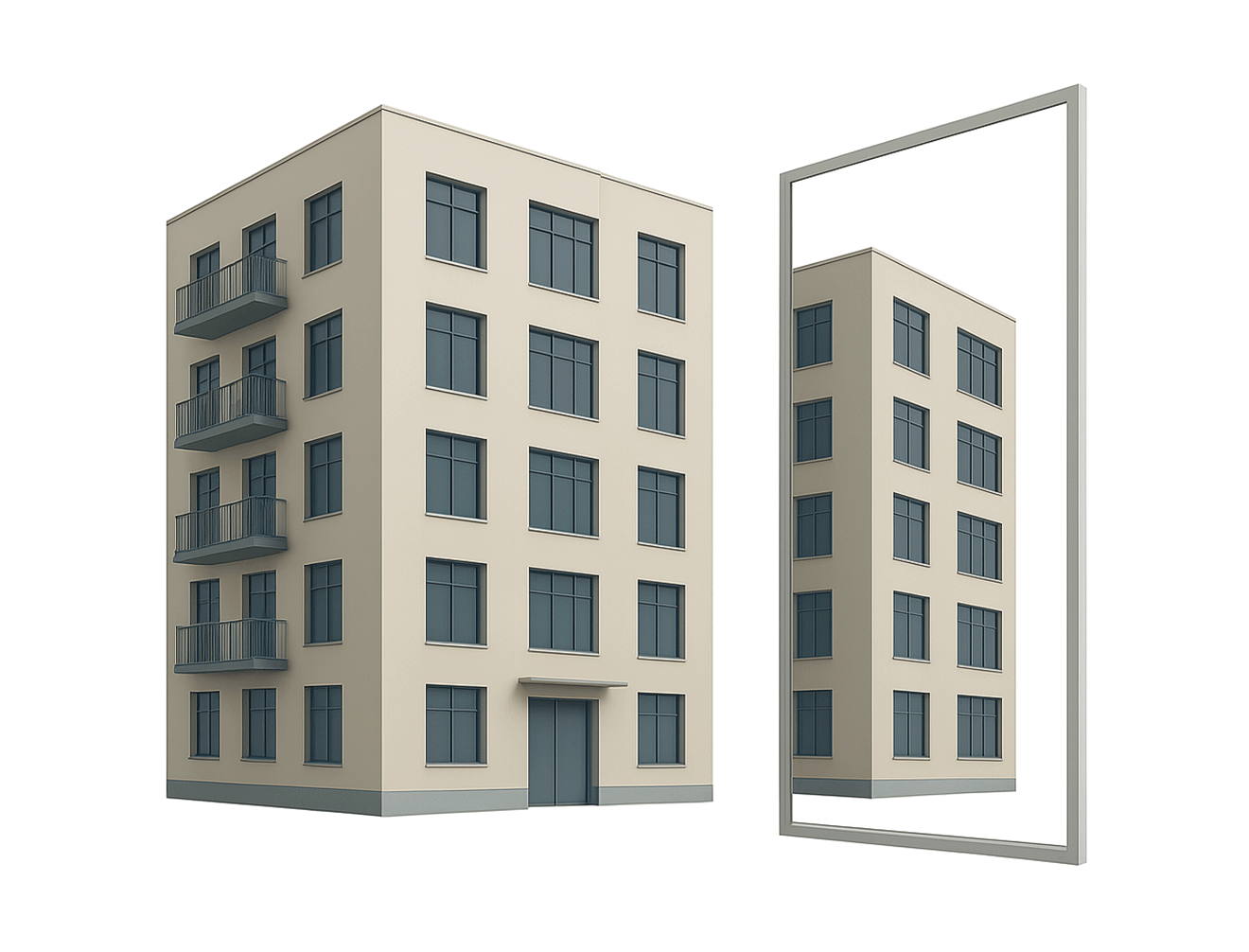
BIM (Building Information Modeling) is a digital model of a building or infrastructure project. BIM models are data-rich, containing information about every aspect of a project, including the design, construction, and maintenance phases. BIM models allow architects, engineers, and builders to collaborate more effectively, reduce errors and rework, and streamline the project workflow.
The use of BIM technology in urban planning is relatively new, but it’s quickly gaining traction as a way to optimize urban design and development. One of the key benefits of BIM technology is the ability to simulate and visualize projects in a virtual environment.
Vu.City and BIM Technology
Vu.City is a robust platform that allows urban planners, architects, and developers to visualize entire cities in3D. The platform uses high-resolution aerial imagery, GIS data, and advanced mapping technologies to create a virtual model of a city. This model is highly detailed, containing information about every building,
street, and landmarks in the city.
Vu.City leverages BIM technology to enable a data-driv en approach to urban planning and development by integrating BIM models into its platform. This platform allows users to simulate and visualize
development scenarios, test designs, and analyze potential problems. This approach helps urban planners and developers to make informed decisions about new developments, improve existing infrastructure, analyze potential problems, and make informed decisions before construction begins. The aim is to optimize the overall layout of a city.
For example, Vu.City was used by the London Borough Haringey to simulate the impact of a proposed devel opment on the local area. The simulation included a detailed 3D model of the proposed building and the surrounding streets and buildings. By simulating the development in a virtual environment, planners could identify potential problems and make design changes before construction began.
Many stakeholders have rapidly adopted the platform in London’s planning and development process. Planners and policymakers use it to assess the impact of proposed developments on the city’s infrastructure, transport systems, and environment. For example, architects and developers use it to test different design options and see how they will impact the surrounding area. Community groups and residents can also use it to visualize proposed changes and provide feedback
One notable use of Vu.City London was in the planning of the new Tottenham Hotspur stadium. The stadium project team used the platform to assess the impact of the latest development on the surrounding area, including traffic flow and pedestrian access. The platform allowed them to test different scenarios and optimize the design to minimize the impact on the local community.

Benefits of Vu.City and BIM Technology
The integration of BIM into Vu.City has several benefits for urban planners and developers. Here are just a few:
- Improved communication and collaboration: One of the main benefits of using BIM technology in Vu.City is improved communication and collaboration among stakeholders in planning and development. Using a common data platform allows all parties to easily share information and coordinate their efforts, resulting in better decision-making and fewer errors.
- Efficiency: BIM tech in Vu.City can help to streamline the planning and development process by reducing the time and cost required to complete tasks such as creating 3D models, producing documentation, and conducting design reviews. This can help accelerate project delivery, which is especially important in today’s fast-paced business environment.
- Superb visualization: Another advantage of BIM in Vu.City is enhanced visualization. By creating detailed 3D models of buildings and urban environments, stakeholders can better understand how different elements will fit together and how they will impact the surrounding area. This can help to identify potential issues and avoid costly mistakes.
- Increased accuracy: BIM technology in Vu.City can also help to improve the accuracy of planning and development work. Using a single data source allows stakeholders to avoid errors and inconsistencies arising when using multiple, disconnected data sources. This helps ensure that projects are delivered on time and within budget.
- Growing popularity: BIM technology is becoming increasingly popular in the construction and real estate industries, with many firms recognizing the benefits that it can bring, according to a recent report by MarketsandMarkets, the global BIM market is about to grow from $4.9 billion in 2019 to $8.9 billion by 2024, which is the annual growth rate of 12.7%.
In conclusion, the integration of BIM technology into Vu.City is transforming how urban planners and develop ers approach urban planning and development by lever aging data-rich BIM models, Vu.City allows users to simu late and visualize projects in a virtual environment, improving collaboration, decision making, and overall project efficiency. As urban areas continue to grow and evolve, the adoption of BIM technology is likely to become even more widespread, helping to create more sustain able, livable cities for all.
.svg)
.svg)


.png)
.svg)